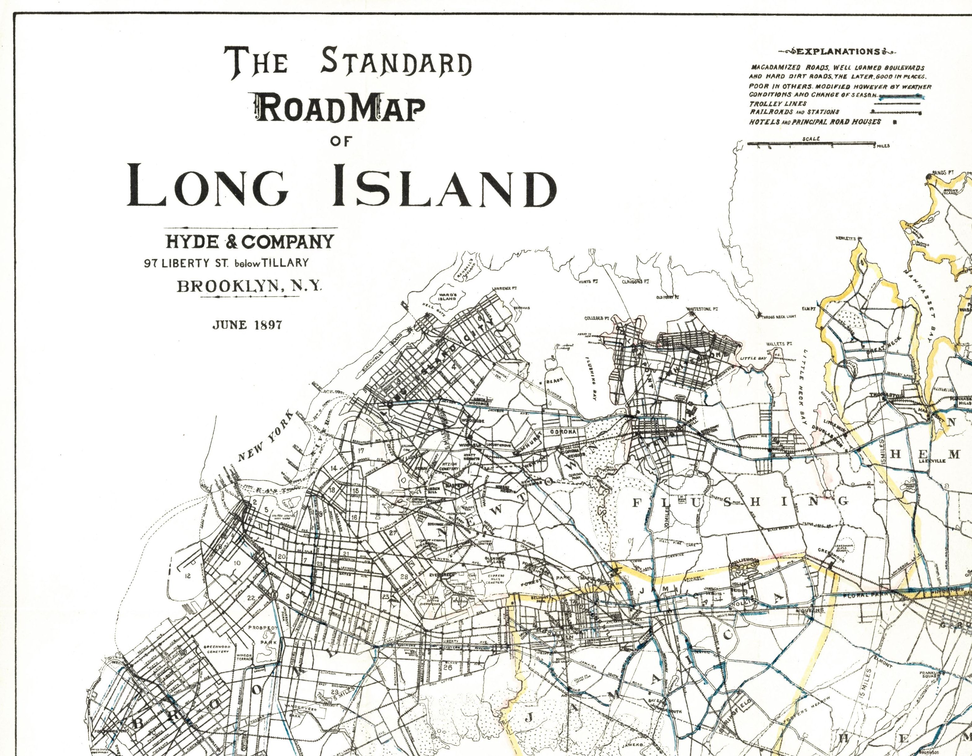
A very rare, perhaps the first, dedicated road map of Long Island from the earliest days of the automobile has been acquired by Special Collections of the University Libraries. Published by Hyde & Company in June 1897, The Standard Road Map of Long Island documents Long Island’s roads at the dawn of the automobile age.
Comprised of two sheets, it takes special account of the automobile, as it highlights in blue both major and well-made roads (“macadamized roads, well loamed boulevards and hard dirt roads”). The map includes secondary roads, trolley lines, railroads, and hotels. Barrier islands, including Fire Island, and marshy areas along the southern shore are also rendered with considerable precision.
Stony Brook University Libraries has the largest collection of regional maps on Long Island. For more information, visit the webpages for Special Collections and the Map Collection. -Kristen J. Nyitray, Head, Special Collections and University Archives, University Archivist