GIS Day @ Stony Brook University, 15 November 2017
The Geospatial Center (School of Marine and Atmospheric Sciences) and the University Libraries celebrated GIS Day at Stony Brook University by hosting four free GIS workshop sessions on November 15.This event showcased some of the ways GIS is being used here at Stony Brook and in Long Island communities and gave attendees some hands-on  opportunities with some of these GIS tools. The workshops included:
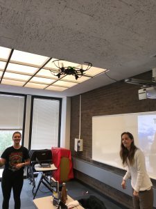
Drones in research 101: Donna Selch, Visiting Assistant Professor (SoMAS), presented the basics of using drones for scientific research including the laws, regulations, remote pilot licence, the different types of drones, and what happens after data collection. Also emphasized was the practice required for remote pilots to pilot the drone away from obstacles or in an emergency. A demonstration with audience participation highlighted the importance for caution and practice when operating unmanned aerial vehicles.
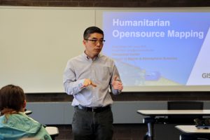
Humanitari an open-source mapping: Sung Gheel Jang, Director of the SoMAS Geospatial Center, introduced the Humanitarian Open-Source Mapping initiative to the event participants. He presented how the interested layman can contribute to emergency mapping so disaster responders like the Red Cross can use the detailed maps for their disaster relief efforts. Attendants learned how to participate in the humanitarian mapping and contributed to validating maps other volunteers already created to aid the Red Cross in Puerto Rico after the hurricane Maria.

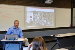
Local government GIS: Dave Genaway, GIS Manager for the Town of Huntington and Adjunct Lecturer at Stony Brook, gave a demonstration of his web-based GIS system–‘Helix’. This enterprise system is used by the public along with town employees and is tightly integrated with the daily operations of many town departments including Planning, Waste Management, and Fire Marshals. Dave pointed out the benefits of using a web-based GIS system as opposed to having multiple desktopapplications deployed across the town. Lastly, Dave also discussed some of technical foundations of Helix, including the web services made possible through the ArcGIS REST API.
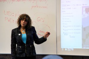
Introduction to ArcGI S Online: Maria Brown, Lecturer (SoMAS), gave a demonstration on how to use ArcGIS Online and how to access available data and basemaps within the Program. Participants completed a hands-on tutorial on how to create a map, change symbology, add map notes, and select a style. They were introduced to some of the analysis tools including a hot spot analysis and were instructed on how to create a service layer from their own data sets with a geospatial reference. Support information was provided for tutorials they can do on their own once leaving the demonstration, and were provided with tips on how to ask questions on the ESRI Blog which is monitored by professionals in the field daily.
The Stony Brook University Libraries would like to thank Sung Gheel Jang, Director of the SoMAS Geospatial Center, for organizing this event, the instructors of the workshops, the students and staff who helped set up and support the event, and all of the attendees who made this a successful GIS Day.

